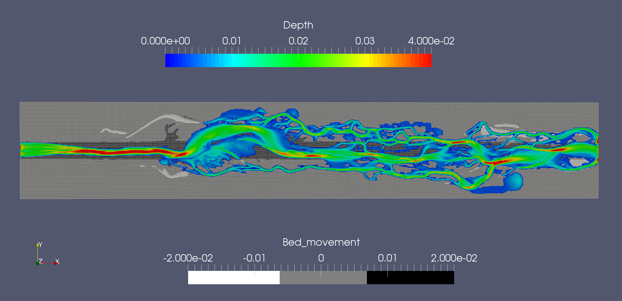
Video with plan view of the braided channel formation
The colours show the depth, where red is the largest depth (4 cm), and blue is the smallest depth (zero cm).
The figures below shows a parameter variation where the secondary currents are reduces in size.
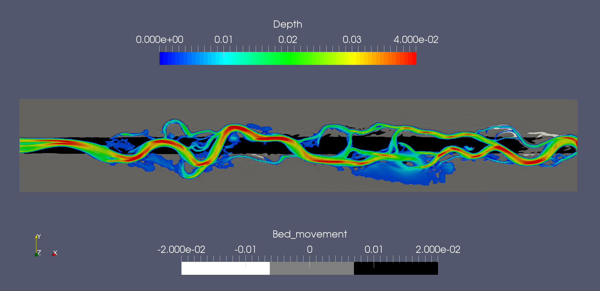
Video with plan view of the braided channel formation
The colours show the depth, where red is the largest depth (4 cm), and blue is the smallest depth (zero cm).
Reference: Olsen, N. R. B. (2021) 3D numerical modelling of braided channel formation, Geomorphology. 375, 107528. doi:10.1016/j.geomorph.2020.107528.
Further work included using a finer grid. The videos below shows results with 2000x250 cells in the two horizontal directions.
Video with plan view of the braided channel formation
Video with a detail showing how the grid changes over time
This page was last updated: 31. January 2023.